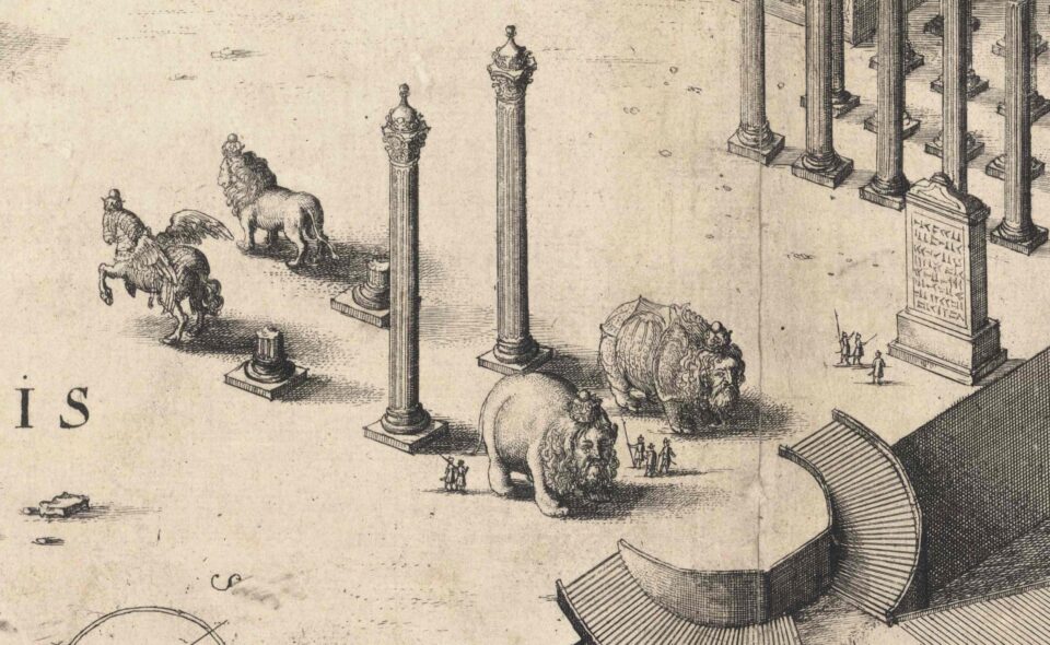


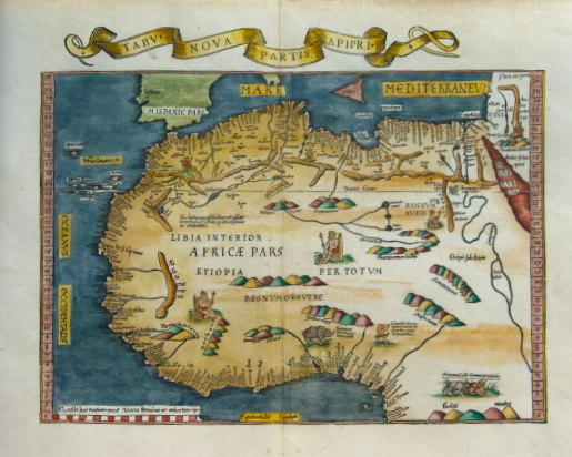
This is a reduced version of Waldseemuller’s 1513 Ptolemy map of the northern and west coast of Africa. Coastal place names are derived from Portuguese sources, but interior details were imagined. This is one of the earliest images of the rhino to appear before Dürer’s print. The map was part of Waldseemuller’s modern edition of Claudius Ptolemy’s Geographia. Ptolemy (90-168) was a greek geographer born in Egypt under Roman rule.